Updated on July 28, 2013
Mount Etna
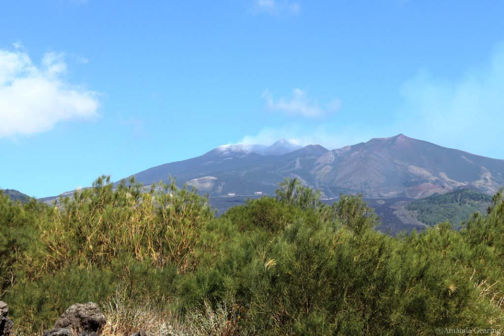
Mount Etna is the world’s tallest volcano, at 3,329 m (10,922 ft) high and 140kms around its base.
It is a subduction volcano caused by the collision of two of the Earth’s tectonic plates colliding, the African plate and the European plate. It is one of the most active volcanoes in the world.
“Etna” means furnace or chimney.
Eruptions mostly occur at the summit but some occur around the side of the volcano.
There have been 60 ‘flank’ eruptions since AD1600 and countless summit eruptions.
Since 2000, Etna has had four flank eruptions—in 2001, 2002–2003, 2004–2005, and 2008-2009.
Eruptions at the summit occurred in 2006, 2007–2008, January–April 2012, and again in July–October 2012.
Historic eruptions
In 396 BC, an eruption of Etna stopped invading troops from Carthagia from attacking Syracuse.
In 122 BC there was a violent explosive summit eruption which caused roofs in the town of Catania to collapse. The Roman Government waived taxes for 10 years to allow the town to rebuild.
Etna’s most destructive eruption since 122BC started in March 1669 producing lava flows that destroyed at least 10 villages on the southern side of the volcano and continued flowing to the city walls of the town of Catania five weeks later. Once at the walls, the lava was diverted into the sea and filled the harbour.
1928 – The village of Mascali was destroyed in two days.
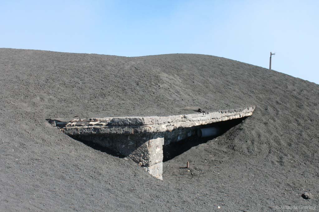
1971 – lava buried the Etna Observatory
1981 – Randazzo on the northwestern side of Etna narrowly escaped destruction by unusually fast-moving lava flows
1991–1993 – the town of Zafferana was threatened by a lava flow, but the lava was diverted by constructing earth barriers perpendicularly to the flow of the lava. When the lava continued flowing, explosives were used to disrupt the flow.
1995–2001 – intense activity at the four summit craters
2002–2003 – large eruption which threw up a huge column of ash that could easily be seen from space
2006- 2007 four episodes of lava fountainingand a plume of ash.
2008 – an eruption and more than 200 earthquakes that continued for 417 days
2011 to 2012 – the summit craters of Etna had frequent eruptions. Ash forced Catania airport to be closed several times.
2012 and 2013 – activity continued but subsided in force and frequency
How to get there by car
Mount Etna dominates the island of Sicily, towering to 23,000 feet, letting off steam and smoke almost continuously and frequently errupting.
From Riposto, we headed south on the motorway towards Nicolosi – a bustling town on the slopes of the mountain. We stopped at a cafe for morning tea and watched local people chatting in the town square – a well-kept area of grass with a large and very heavy piece of lava, the ‘bomba del Etna’ that was spewed from Mount Etna in an eruption in 1667.

An information office gave us directions on how to reach the ‘top’ of Mount Etna – via a chairlift from 1900m and a four wheel drive bus which goes to ‘the top’.
We drove towards the beginning of the chairlift, winding up a well-made bitumen road which obviously takes a lot of buses and is in good condition (compared with all the local roads), the edges of the road were often edged with neatly cut black lava rock walls.
We pulled off the road a couple of times at lookouts to look down at the coastal plain and out to sea.
Tickets for the chairlift and 4WD bus
Once at the chairlift, we stopped for lunch at one of the many restaurants and bought our tickets for the chairlift and bus and the guided alpine tour. We were charged €50.50 each even though the tickets handed to us had face prices of €13.50 each for the chairlift and €9.95 each for the bus.
We walked up some stairs to board the chairlift and went straight on as there was no queue. After moving along slowly through the chairlift building, suddenly we were outside again and the chairlift sped up, lifting us rapidly up the barren mountainside.
At the top of the chairlift the altitude meant it was quite cold and we needed warm jackets which we hired for 2 euros each. Four wheel drive bus trips depart for tours to the craters at 10am, 12 noon, 2pm and 4pm daily.
As it was about 1.30pm we walked around and looked down at the receding world below and the moonlike landscape we had entered.
The summit
Just before 2pm we lined up for the bus departure and climbed into the Mercedes Benz four wheel drive vehicles which had very high clearance – three steps up to the chassis.
Each bus carries 29 passengers. The driver was very expert and drove easily up the winding lava roads across the dead landscape – there was no vegetation at all – just various types of lava – ranging from chunks of rock to quite fine black grains of 1mm to 5mm in diameter.
The buses stopped at a staging post – with another tourist shop – and an area for the buses to park.
We climbed out and walked with the guide to a nearby crater which erupted in 2003 killing a man and burying his house. The rock underfoot crunched like walking on rice bubbles.
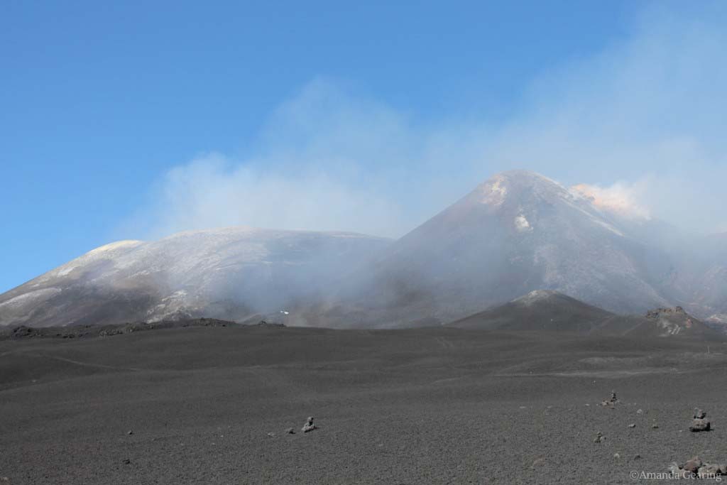
The crater at this level has a steady stream of steam coming from the middle.
The wind whipped across the landscape and we were very glad of the warm coats but our bare legs were stung by the coarse rock dust blowing around.


From here we had a good view of the south crater which constantly releases smoke and steam over quite a large area. The immediate area around the crater is pale yellow with sulphur and ash. A streak running down from the right side is stained red with iron from the last eruption.
After about an hour at the top we were glad to retreat from the cold and the wind, back into the bus.
We retraced our steps to the chairlift for the trip back down. On the way back to Riposto we travelled down the eastern face so the trip was quite different – here there is plenty of vegetation and even forest in parts.
There were several tight hairpin bends in the road so the GPS was useful, indicating where we needed to slow down in case of oncoming traffic.
We reached some villages at the foot of the mountain with very narrow winding streets.


Recent Comments